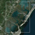
| Project | Remote Sensing Seminar |
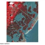
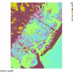
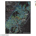
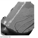
| Location | Stone Harbor, New Jersey |
| Date | Fall 2019 |
| Principals | Keith VanDerSys |
| Client | The Wetlands Institute |
| Collaborators | Sean Burkholder, Michael Luegering, Michael Tantala |
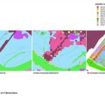
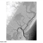
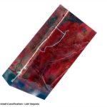
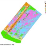
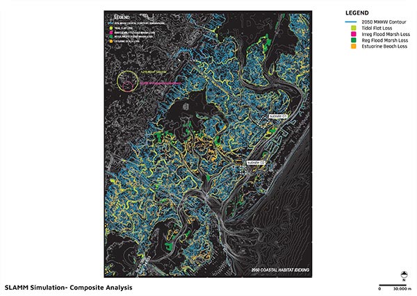
Coastlines are migrating upland faster than at any point in recorded history. As dunes, wetlands and coastal marshes roll back, the need for littoral adaptation and protection increases. In recognition of this, the United States Army Corps of Engineers (USACE) has placed an increasing importance on natural and nature-based features (NNBF) and protection systems. Unlike hardened structures, the science behind engineered nature is lagging. The fluctuating dynamics of intertidal terrains common to NNBFs, however, make traditional monitoring and imaging ineffective. Establishing a datum, for instance, can be particularly tricky given the fluid nature of these low-relief landscapes. To make informed decisions about these coastal ecosystems, however, management authorities, non-profits, and residents need to understand what is at stake in the changes afoot.
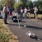
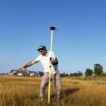
Low cost, simple-to-use surveying and sensing equipment are increasingly available to designers. Imagining technologies form our primary means of translating and expressing our environment. Yet, sensing and syncing data collected across scales, however, remains cumbersome. Through hands-on field collection exercises and in-class demos, students were introduced to an array of sensing tools that are central to collecting and analyzing environmental changes across scales: Unmanned Aerial Vehicles (aka drones); GNSS/GPS receivers; multispectral cameras; and image recognition software.